Ghosts, and Ghost Towns Along the Border
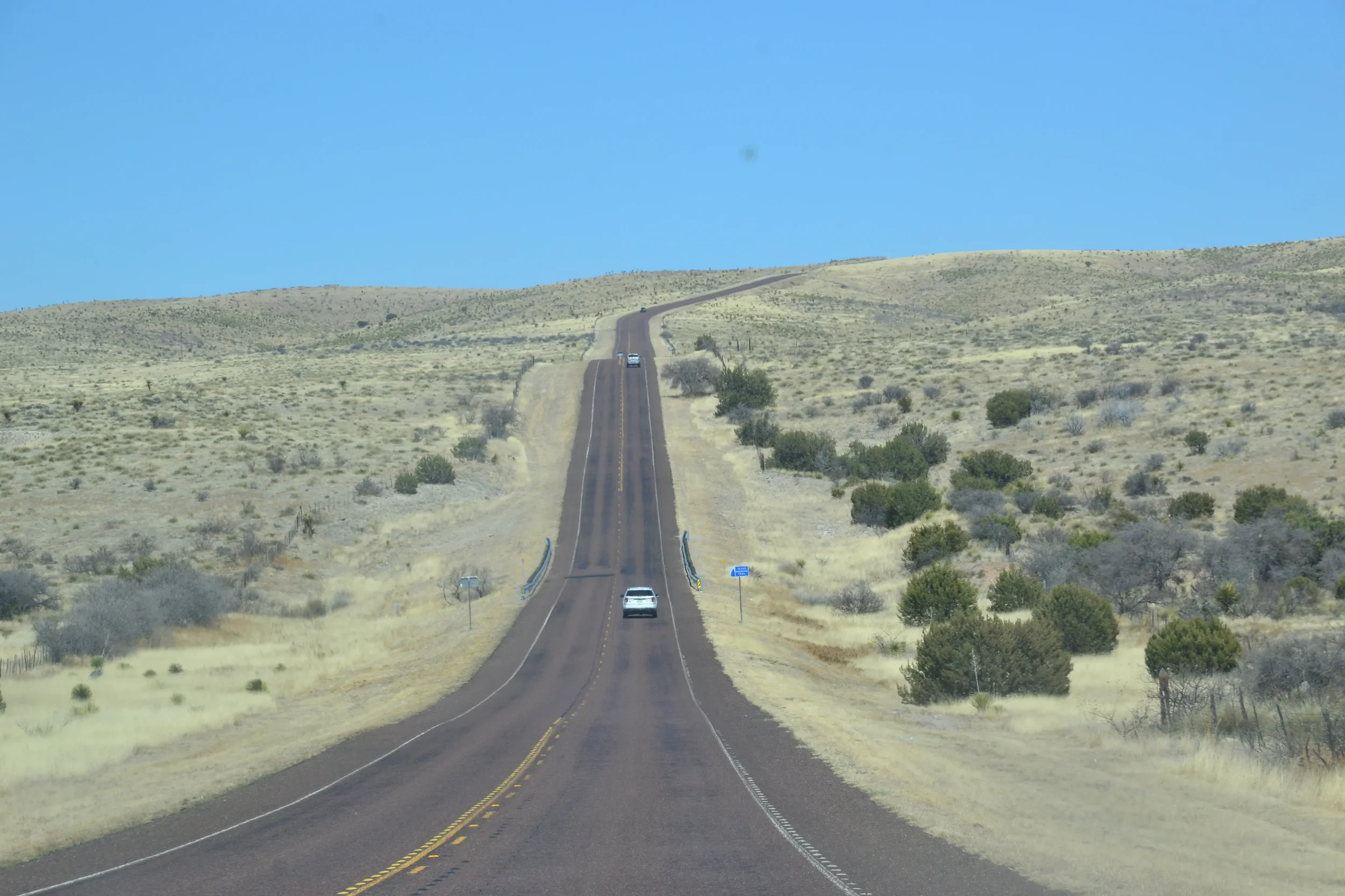
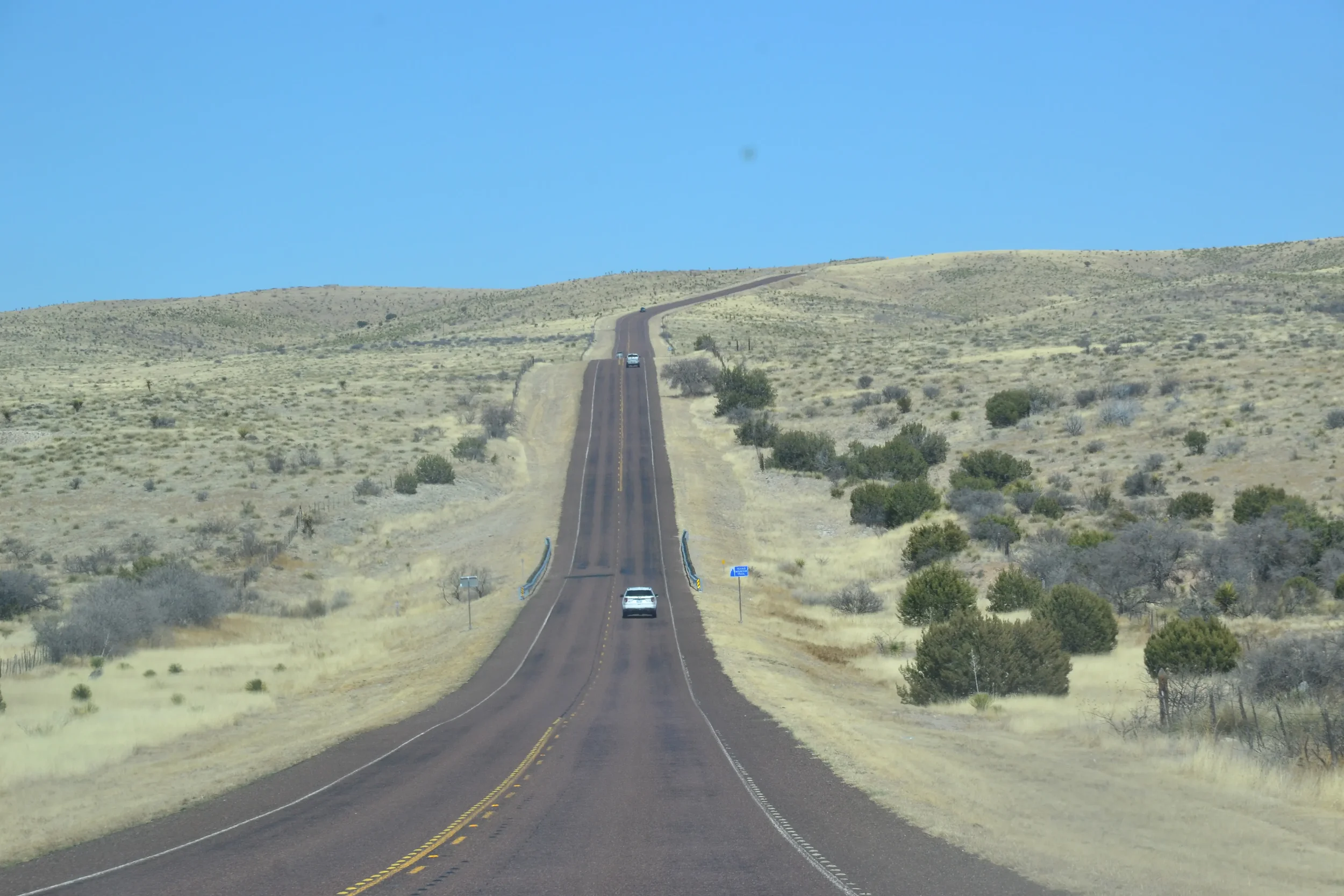
Small ghost towns and other remnants of attempts to tame the west dot Texas State Highway 170 along the Rio Grande and the border with Mexico.
It is a harsh but beautiful drive through the mountains, roughly 60 miles from Terlingua to Presidio. You can see the Rio Grande often during the drive, and there are lots of places to pull over and go down to the river. It was an amazing drive, but what struck me most were the ghost towns along the way.
The drive through Big Bend National Park was inspiring. I was skeptical when they told me the drive onward to Presidio was even more impressive, but “they” were right for once. From Presidio northward to another ghost town — Shafter — is only 20 miles or so, but is almost as impressive as the drive along the Rio Grande.
There were Native Americans here for thousands of years, and there were Spanish explorers in the area from the 1500s onward. It was a harsh environment no doubt. Then white settlers came in the early 1800s, and even more in the late 1800s with silver mining.
Several towns sprang up overnight for silver mines, or later for oil, and most of them disappeared just as fast.
The environment was hot and dry, there were snakes and other wild animals, as well as Indians on the warpath now and then. It was a rough life, and people still struggled to survive. There was also a lot of appeal to the area, to the rough environment. I heard more than one person say they didn’t intend to stay there, but they did.
While at Big Bend we stayed in Terlingua, which is between the national and state parks by the same name. Just a mile or so away is another settlement called Study Butte (pronounced stoody boot). Both were the sites of big silver mines in the early 1900s, and both also made Mercury through the 1940s.
Once the silver mines were no longer profitable, the mining companies withdrew and they both became ghost towns. The towns are getting a resurgence now with tourism, as launching points for Big Bend and the river.
The silver miners also changed the environment significantly. Before the 1900s the area had tall grass which was great for grazing cattle, and there were a lot of trees. Virtually all the trees were cut down for the Mercury-making process. That left nothing holding the soil down and it all blew away, and there was no place for the grass to grow anymore. The desert quickly overtook the area and it remains desert today.
The two-lane blacktop winds through the mountains out of Terlingua, and around each curve is another gorgeous scene that would make a great photo. We pass up most of them.
There are other sights as well.
The home of Pablo Acosta is one that comes fast. It is a very nice house, almost a mansion, beside the road after leaving Terlingua. Acosta was a major drug dealer and controlled most of the drug traffic across the Rio Grande in the 1980s. He was finally killed after an ambush in a nearby canyon in 1987.
There is also Contraband Pass, which some locals told us about. There is a relatively easy pass through the mountains that has been used for centuries for trade. A hundred years ago a plant that was used to make candles was smuggled through that route and traded to businesses on the American side of the border.
We didn’t see any signs of that sort of smuggling, but there were places where people left trinkets, walking sticks, and so forth to be purchased. There was a can set up to hold the money and it was on the honor system. It’s illegal for them, and it's illegal to buy the trinkets.
As we went on down the road we came to Lajitas, another town that has not quite made it to ghost town status. It is having more of a resurgence as there is a fancy resort and golf course there now.
There were more ruins here and there as we wound through the mountains, just small piles of rocks that were a building of some kind.
It is ironic perhaps, but Presidio is the only town that is still functioning as an actual town. It is the only one that did not come into being because of mining. It was established by the Spanish, and there is the Mexican town of Ojinaga just across the river.
From there we went north on Highway 67 to another ghost town. This drive was gorgeous as well, but it was a different kind of mountain, with much different rock formations.
About 25 miles north of Presidio is Shafter. This once prosperous mining town now has five or six families, a church, and that is about all.
About 40 miles north of Shafter is the town of Marfa, which was a nice little town that seems to have a lot going on. The town of Alpine is just 10 miles to the east, and it is similar. Both appeared to be bustling small towns with a creative arts scene.
Riding the Rio Grande - Life on the Border
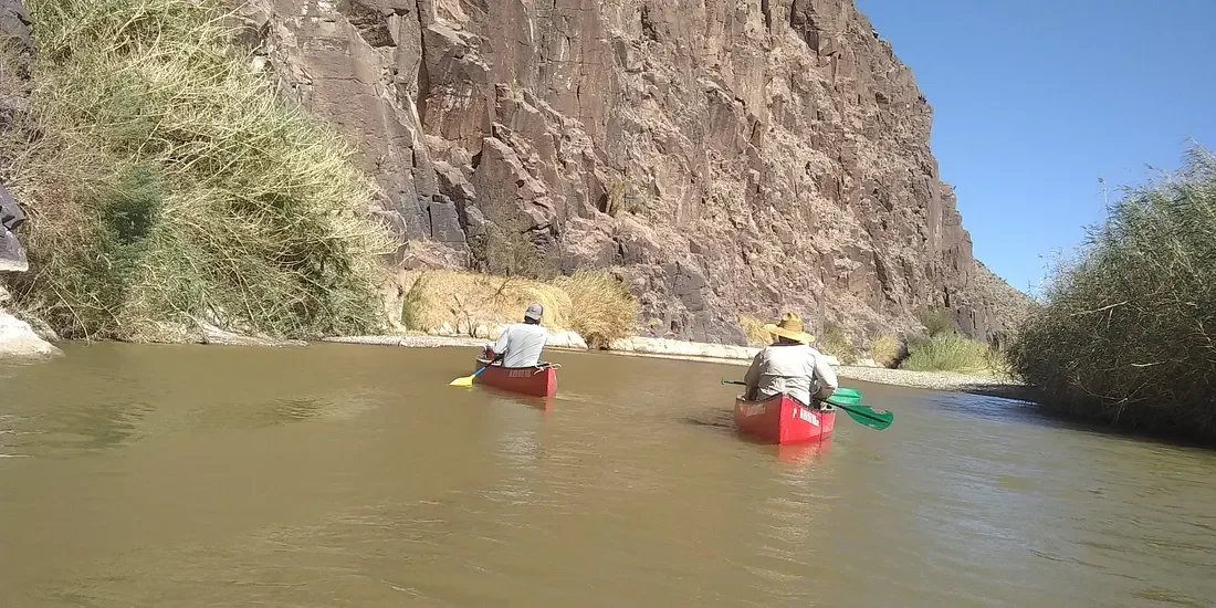
A canoe ride down the Rio Grande is about as peaceful as you can get. The flow is slow and the water is not deep. We went on a guided tour before we left Big Bend, National Park. The tour was in a state park by the same name, which is just an extension of the park itself.
Tall brown grass on both sides of the river creates a different world. A person could forget they are in a desert for at least a little while.
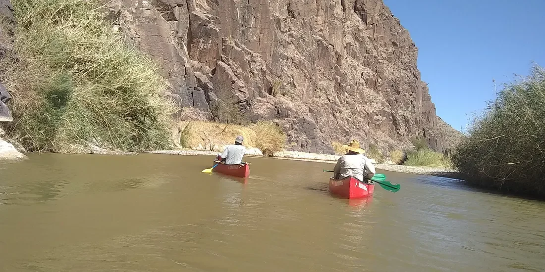
A canoe ride down the Rio Grande is about as peaceful as you can get. The flow is slow and the water is not deep. We went on a guided tour before we left Big Bend, National Park. The tour was in a state park by the same name, which is just an extension of the park itself.
We were not very familiar with canoeing and we were given some basic instructions, which were good enough.
You would have to really mess up to turn over, but it could happen. There were some “rapids” that were a little tricky, but our guides helped us through.
Steering a canoe is not as easy as you would think, and we went down one rapid backward. We got to a point where it was going to be too hard to turn around, so we just went back and it worked out fine.
Tall brown grass on both sides of the river creates a different world. A person could forget they are in a desert for at least a little while.
150 years ago when the west was being settled, and this area was still in contention with settlers, Mexicans, and Indians, the area was more green and the river had more flow.
Dams have been built and that has caused a smaller water flow, and the environment has changed. There was a lot of silver mining in this area 100 years ago, and all the trees were cut down to have fires that were needed to work with the silver.
Once the trees were gone, there was nothing left to hold the soil in place. Once a drought came along the topsoil was blown away, leaving nothing but sand. That made the area turn into a desert fast and the grass never came back.
March is the dry season so the water level is low. In the fall the level is high enough for rafts.
We ran aground a few times in the canoe, but it was easy to push off with the oars we had.
It is still a very remote area. Our guides told us there are very few people living on either side, and it is a long way to civilization from here.
Before 9–11, no one here paid much attention to the border. Folks on the Mexico side sent their kids across the river to go to school. After the 911 attacks the U.S. got more strict with the border.
In one case a Mexican town depended on infrastructure and supplies from the American town. Once we got stricter with the border, folks in that town had nowhere to go to get anything they needed. That area is a ghost town now.
There is a Mexican National Park on the other side of the river, so there is a national park for hundreds of miles on both sides of the border. There are still border patrol people around. You can go across the river easily enough, and our guide told us you can get cited with a misdemeanor if you cross the river.
There are virtually no “illegals” entering the U.S. from this area. The river is easy to cross, but hundreds of miles of desert with no water or anything else is not easy.